School’s out and summer’s here! To celebrate, we’re letting you in on a little known secret: Seattle has mini hidden beaches and nature preserves that are open to the public!
Okay, it’s not actually a secret and they’re all marked on our interactive Shoreline Street Ends map, but you can tell your friends that you discovered these lesser known bits of waterfront paradise.
These mini hidden beaches and nature preserves are called Shoreline Street Ends, or street ends for short.
Read on to learn about some street end beaches that you should explore this summer. But first, how did these street end beaches come to be?
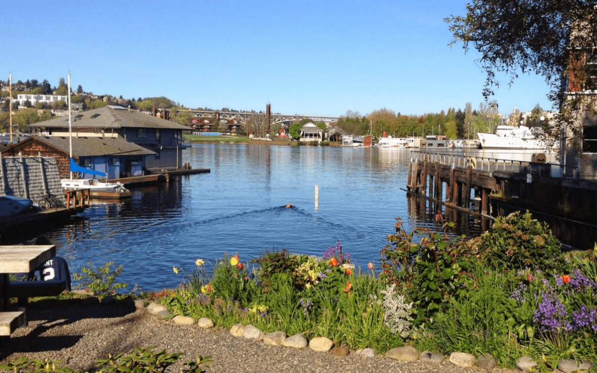
Downtown Seattle is bound by water on all sides. If you pick any direction and go far enough you’ll hit a shoreline – Lake Union and Portage Bay to the north, the Duwamish and Green Rivers to the south, Lake Washington to the east, and Puget Sound to the west.
Our abundance of waterways results in hundreds dead-end streets where the roadway stops when it nears the water’s edge.
In the 1990s, community advocates in Seattle wished to protect water access at these dead-end streets. In 1996, the City Council passed a resolution that designated more than 140 shoreline street ends for public uses and enjoyment. These mini waterfront parks are managed by our Shoreline Street Ends Program with support from the Seattle Parks Department.
Not all streets that end near a waterway have public access to the shore. In fact, most of our shorelines are privately owned due to the historic privatization of Washington’s shorelines. The sale of tidelands to private owners wasn’t outlawed in Washington until 1971 when the Shoreline Management Act was passed.
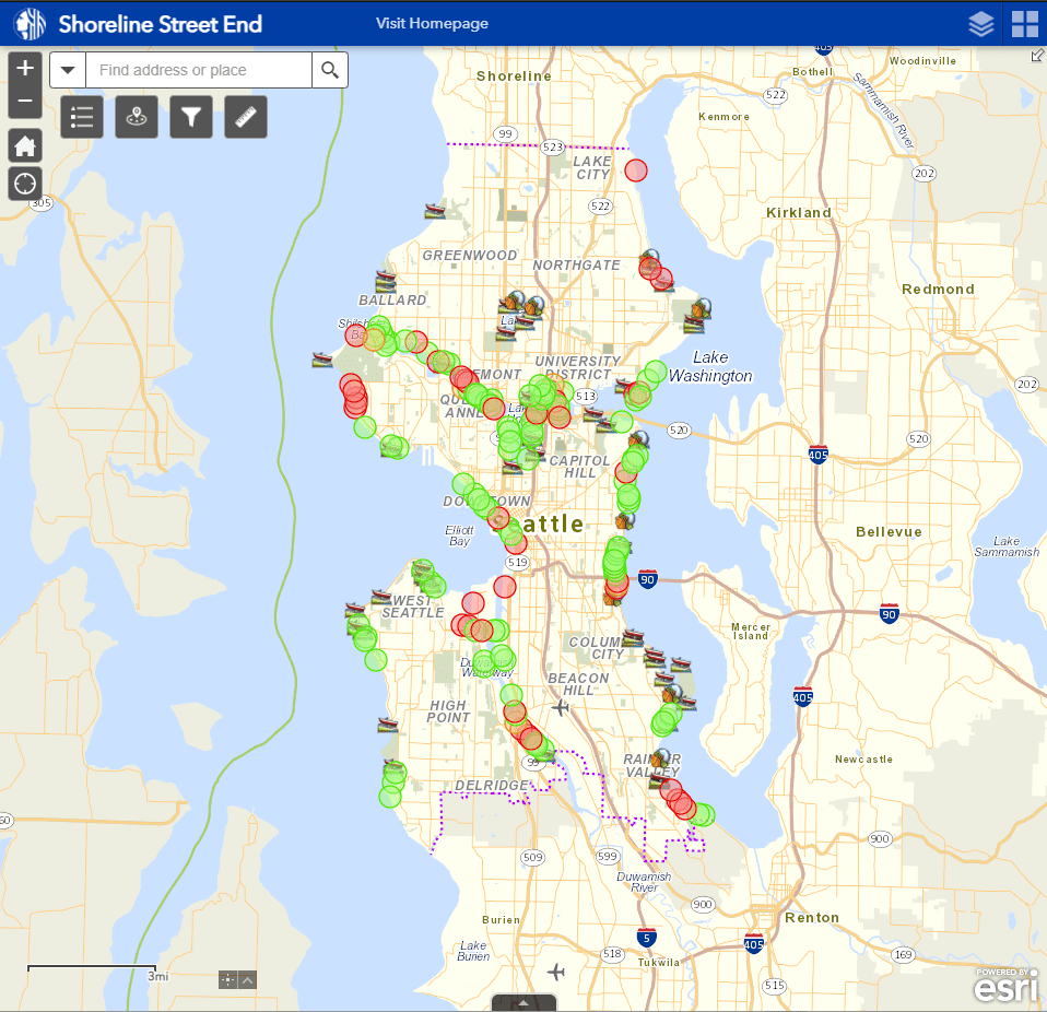
In 2020, we rolled out an interactive map showing the locations of all the street end beaches and nature preserves.
Many of the street ends have access to the water, while others have scenic overlooks, and some are still underdeveloped. The sites on the map marked in green are worth a visit. Others, marked in red, are still undeveloped. As funding allows, we hope to improve access at more locations.
Top hidden (and not so hidden) beaches to explore this summer!
Since most of these beaches don’t have addresses, we’ve listed the closest adjacent street intersection and the SSE (Shoreline Street End) number so you can find it on our interactive Shoreline Street End map.
The public beach area at these sites are typically only as wide as the street and sidewalk it’s named for. The beach areas adjacent to these sites are typically privately owned unless they’re next to a public park. Please keep this in mind when visiting these sites so that you don’t accidently trespass on to private property. Please be respectful of neighbors.
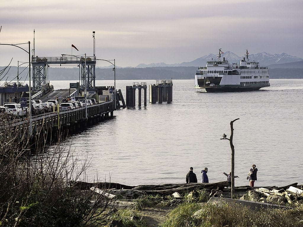
SW Barton St (Cove Park) | SSE-3
Tucked in next to the Fauntleroy Ferry Terminal, this site provides great access to a sandy beach via an artful paved pathway. [SW Barton St and Fauntleroy Way SW]

SW Carroll St (Weather Watch Park) | SSE-5
Known to the locals as Weather Watch Park, this site has a driftwood covered gravel beach and art installation at street level. [SW Carroll St and Beach Dr SW]

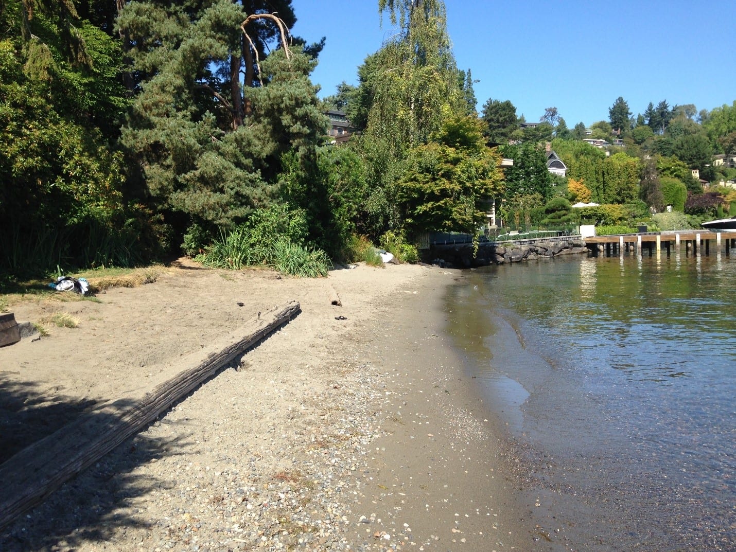
S Willow St | SSE-45
Wood steps and a narrow pathway lead down to two benches under the canopy of a black locust tree. Steps take you down to the small gravel beach. [S Willow St and 56th Ave S]
E Harrison St | SSE-63
A path under the cover of conifers leads to a secluded sandy beach. [E Harrison St and 39th Ave E]

E Highland Dr | SSE-66
Community efforts in 2016 transformed an overgrown street into a end lovely public shore with open lawn area, log seating, and a gravel path leading down to a pebble beach. [E Highland Dr and 42nd Ave E]
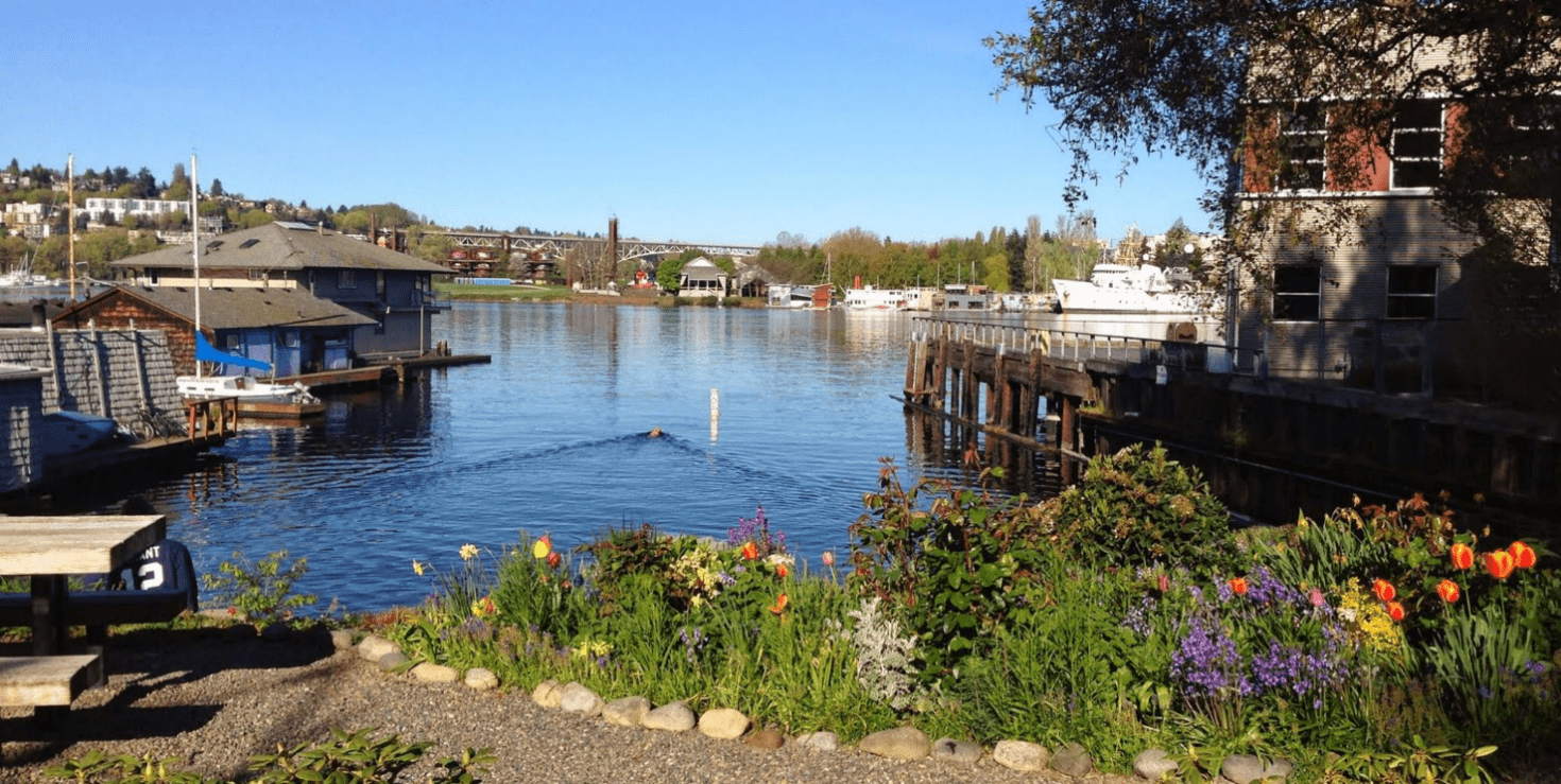
E Hamlin St (West End) | SSE-79
This community-stewarded site features landscaping, multi-tiered seating areas and timber treads leading down to the shore. Two picnic tables and a bench near the water provide plenty of lookout spots. [E Hamlin St and Fairview Ave E]
W Thomas St (Myrtle Edwards Park) | SSE-112:
The site is part of Myrtle Edwards Park and is accessed via the Elliott Bay Trail or the pedestrian bridge for those coming from uptown. It features a sandy beach lined with driftwood and stunning views of the Olympics and Mt. Rainier. [W Thomas St and Elliott Ave W]
Bay St | SSE-113
This public shore abuts Myrtle Edwards Park to the north and the Olympic Sculpture Park to the South. The site is accessed via the Elliott Bay Trail and features a rocky beach and great views of Elliott Bay. [Bay St and Elliott Ave W]
NE 130th St Park | Formally SSE-123
This tiny sand beach in northeast Seattle is accessible by foot or by bike and is most easily reached by the Burke-Gilman Trail. It was a street end right-of-way and is now a public park managed by Seattle Parks and Recreation. [NE 130th St and Riviera Pl NE]