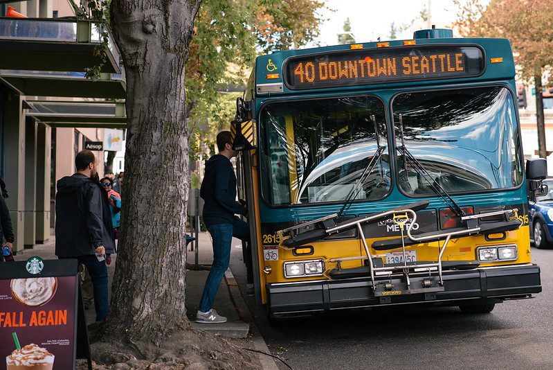
 Riders board a King County Metro Route 40 bus. Credit: SDOT
 Blog stats: 750 words | 6-minute read
We’re partnering with King County Metro to make Route 40 bus trips more reliable while improving safety for people walking, biking, and rolling along this route.
We’ve come up with some concepts and want to know what you think!
At-a-glance:
- We have completed the 60% design stage of proposed Route 40 Transit-Plus Multimodal Corridor improvements based on the feedback we heard during the 30% design stage, from both the public and our technical team.
- We are now in the refined design stage of this project and are asking for public review of the larger design changes that have been determined, as well as feedback on smaller changes.
- Some of the proposed new design features include new pedestrian signals, wider sidewalks, new ADA ramps, and the first ever Freight and Bus (FAB) only lane pilot in the city!
- Learn more about the goals and background of this project.
- Fill out our online survey by June 19.
Our project team has been working on refining the design concepts using your feedback on our 30% design and conducting additional technical analysis. We appreciate all the input that we have received from our project neighbors, local businesses, and advocacy and advisory groups.
We have organized the design phase into four stages: early design (30%), refined design (60%), advanced design (90%), and final design/preconstruction (100%). At each stage, we clarify what the project will look like and continue to look for different types of input from the community at each point.
We are currently at the refined design (60%) stage. At this stage, you’re able to review the larger design changes that have been determined and provide feedback on smaller changes. With your input, we can ensure that we are considering diverse community needs in our overall design process.
The feedback we receive at this stage will be considered as we move into advanced design (90%), with an eye towards final design and future construction.
Highlights of this refined design include:
- The first ever Freight and Bus (FAB) only lane in the city! We’ve proposed a one-year pilot of a FAB-only lane on Westlake Ave to keep freight moving along this corridor.
- A new pedestrian signal at Halladay St and Westlake Ave.
- A new Rapid Flashing Beacon on Leary Wy between NW Vernon Pl and NW Market St.
- Other new Right of Way improvements throughout the project at select locations, including bus-only lanes, wider sidewalks, upgraded curb ramps, bus bulbs, two-way center turn lanes, new paving, and bike lane connections.
What do you think? Fill out our online survey by June 19.
Explore our latest design in our online open house and let us know your thoughts on the proposed changes through a quick survey.
More about the project
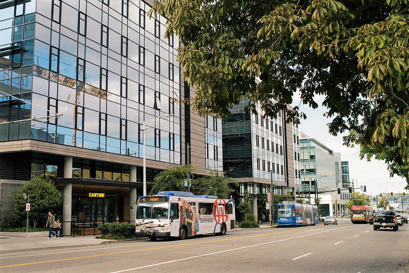
King County Metro’s Route 40 has the 5th highest ridership in King County, averaging just over 7,000 daily boardings on weekdays according to King County Metro Spring 2023 data. It serves the Northgate, Crown Hill, Loyal Heights, Ballard, Fremont, South Lake Union, Downtown Seattle, and Pioneer Square neighborhoods. More than 95,000 people live within a half-mile of Route 40! Over the past few years, we’ve been working with Metro and the community to find ways to make this bus route more reliable, safe, and on-time.
The objectives of the project are to reduce transit travel times, improve reliability, increase safety, and improve transit access along the Route 40 corridor. We have a goal of reducing peak travel times by 5% to 10% and making the time between buses more consistent so riders can rely on trips to take about the same amount of time, no matter the time of day.
Project map
Suggested improvements are focused around four key areas: Westlake, Fremont, Ballard, and North Seattle.

Learn more
- Read more about the history of this project on our blog and the project webpage.
- Watch the project update video.
Complete the survey.
More to come!
Stay up to date, sign up for our email updates.