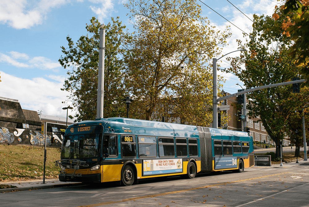
 A Metro route 48 bus travels in Seattle’s Central District near Garfield High School. Photo: SDOT
 Blog stats: 450 words | 2-minute read
At-a-glance:
- Construction is beginning on the Route 48 – Transit-Plus Multimodal Corridor project.
- This is an important project funded by the voter-approved Levy to Move Seattle. King County Metro is also contributing grant funding to support construction.
- We expect the project to help reduce bus travel times, improve bus trip reliability, and make it safer for people to walk, bike, and roll to transit.
- Route 48 travels through Mount Baker, North Beacon Hill, Judkins Park, the Central District, Montlake, and University District neighborhoods.
- Learn more about what’s ahead in this post and sign up for email updates to stay informed.
We are excited to announce that construction on the Route 48 Transit-Plus Multimodal Corridor project’s North Segment is kicking off. We’re making these improvements to reduce bus travel times, increase bus service reliability, and make street crossings safer for people getting to bus stops. You can find additional details on the project website.
Key features include:
- Bus improvements: Bus-only lanes to separate the bus from traffic (depending on the location, bus lanes may replace parking lanes or travel lanes)
- Walking and biking improvements: Improvements to crossings at intersections to help people access transit safely
- Signal upgrades: Signals that prioritize transit with queue jumps that give buses a head start and “smart signals” that activate or extend green lights for buses
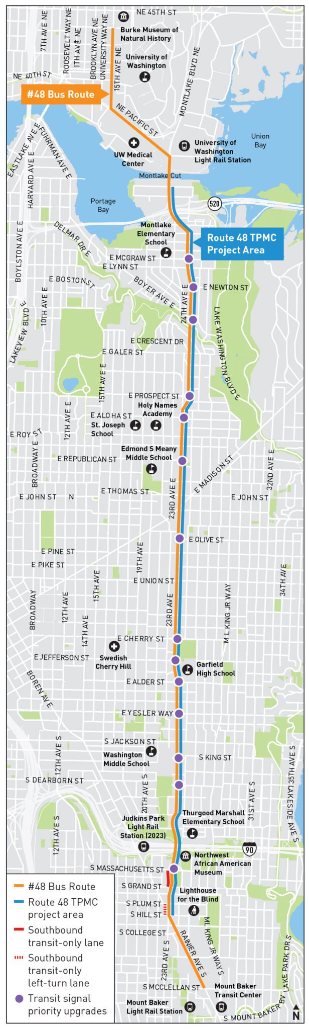
Project area map
What to expect during construction
We started moving equipment and materials onto the project site earlier this week in preparation for active construction this weekend (March 9-10). We’ll work on the north segment of the project area first with prep work for signal upgrades at Boyer Ave E and 24th Ave E. For more details about this work, please visit the project web page.
During construction, you can expect these general impacts:
- Typical weekday working hours of 7 AM – 4 PM.
- Typical weekend working hours of 9 AM – 4 PM. Weekend work is needed so that we can disconnect buses from the overhead trolley wires and safely direct them around active construction.
- Temporary bus stop closures. We will work with King County Metro to create temporary bus stops nearby when possible to minimize impacts to bus riders.
- Temporary sidewalk closures. Detours will be signed for people walking, biking, and rolling.
- Temporary vehicle lane closures during active construction. Lanes will reopen at the end of the workday when possible.
How to stay informed:
- Visit our website
- Sign up for email updates
- Email us at: Route48@seattle.gov
- Call us at: (206) 693-4151