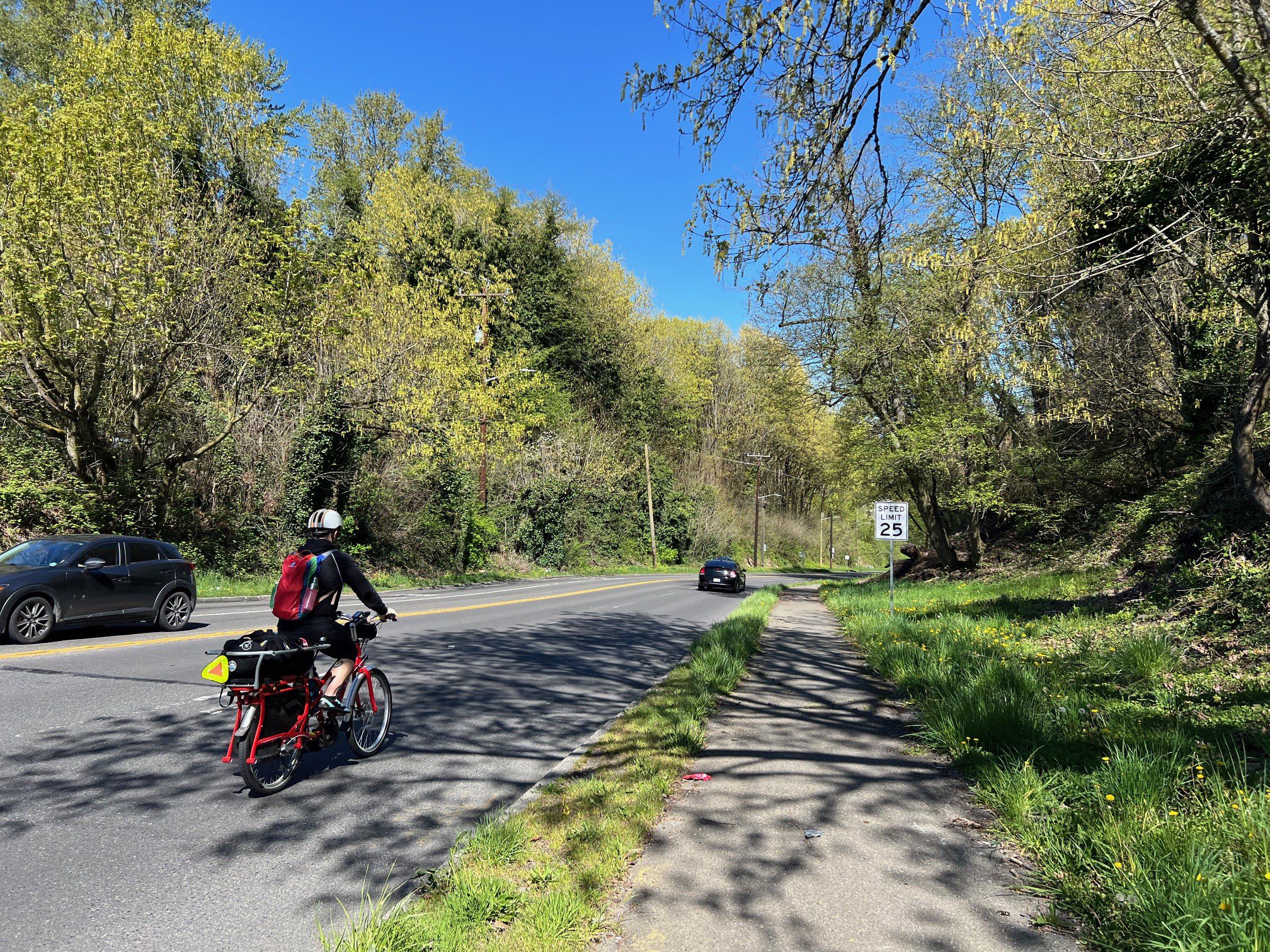
 A person bikes along Highland Park Way SW next to the existing path, just north of SW Holden St. Photo: SDOT
 Blog stats: 850 words | 4-minute read
At-a-Glance:
- The Highland Park Way SW Connection Project aims to provide an improved path for people to walk, roll, and bike between the Highland Park and Riverview neighborhoods and the Duwamish River Trail.
- We are exploring some early design concepts for a protected bike lane or a multi-use path, and we need your input to help select the best option.
- Here’s how you can share your thoughts:
- Email us at HighlandHolden@seattle.gov
- Call us at (206) 900-8741
- ¿Hablas Español? Visite nuestro sitio del web sobre el Proyecto de conexión Highland Park Way SW.
We are designing an improved path for people to walk, roll, and bike along Highland Park Way SW from SW Holden St to West Marginal Way SW and the Duwamish River Trail. Community input from you and your neighbors will help us advance the conceptual designs.

The current path needs repairs and is very close to the street in some places, making it a less comfortable option for people walking, rolling, and biking – particularly when people drive over the speed limit, which happens quite often in this area. Seattle Police collision reports and recent traffic data also indicate that people have driven off the street, crossed the centerline into oncoming traffic, sideswiped other vehicles, and even crashed into a person biking.
Through the Highland Park Way SW Connection Project, we aim to:
- Create a better option for people walking, rolling, biking, and taking transit in the area
- Calm traffic along Highland Park Way SW to help increase safety and prevent collisions
- Make a more comfortable connection to the Duwamish River Trail for people in Highland Park and nearby neighborhoods
We are exploring 3 different ways to improve the existing path. All options remove the right northbound (downhill) driving lane, which will create space for an improved path, while also calming traffic. This will also help ensure that people drive the legal speed limit, which makes crashes less likely to occur or result in serious injuries. We have studied the traffic patterns in this area and seen that a single northbound driving lane is enough capacity for the number of vehicles traveling in this area.
Check out the options below and share your thoughts by taking our survey by June 15, joining us at a community event, or contacting us at HighlandHolden@seattle.gov or (206) 900-8741.
Option 1: Downhill Protected Bike Lane
For Option 1, we propose replacing the right northbound driving lane on Highland Park Way SW with a downhill protected bike lane. The bike lane would run parallel to the existing path and include a concrete barrier to separate the bike lane from nearby car traffic. At the intersection of Highland Park Way SW and West Marginal Way SW, we would add a diagonal bike crossing to connect people to the Duwamish River Trail (see the map below). We would also add lighting and make some repairs to the existing path to improve accessibility for people walking and rolling.
Illustration and Map of Option 1: Downhill Protected Bike Lane


Option 2: Multi-use Path
For Option 2, we propose replacing the existing path and the right northbound driving lane with a multi-use path. The multi-use path would include a wider landscape buffer and a wider path for people walking, rolling, and biking in both directions. This path would include bus stop landing pads in the landscape buffer, so people have a paved area to wait that is off the multi-use path. As in Option 1, we would add more lighting for people traveling along the path at night and add a diagonal bike crossing at the intersection of Highland Park Way SW and West Marginal Way SW to connect people to the Duwamish River Trail.
Illustration and Map of Option 2: Multiuse Path


Option 3: Combination of Options 1 and 2
For Option 3, we would build the protected bike lane first (as it takes less time and less money to build) and then develop the new multi-use path later when additional funding is available.
Learn more on our project webpage and share your thoughts any of the following ways:
- Fill out our survey by June 15
- Join us at a community event and chat with our team
- Email us: HighlandHolden@seattle.gov
- Call us: (206) 900-8741
- ¿Hablas Español? Visite nuestro sitio del web sobre el Proyecto de conexión Highland Park Way SW.
Also, don’t forget to sign up for our email updates to stay informed. Thank you for your time and interest!