 The new 4th Ave protected bike lane in downtown Seattle is open now, providing a safer, more convenient option for cyclists traveling to and through the area.
 Summary:
- This past weekend, crews completed the final sections of the new 4th Avenue protected bike lane through downtown Seattle, with connections to the broader Center City Bike Network in and around downtown Seattle.
- This project was made possible with tax dollars from the Levy to Move Seattle. Thank you, Seattle, for helping make this protected bike lane a reality!
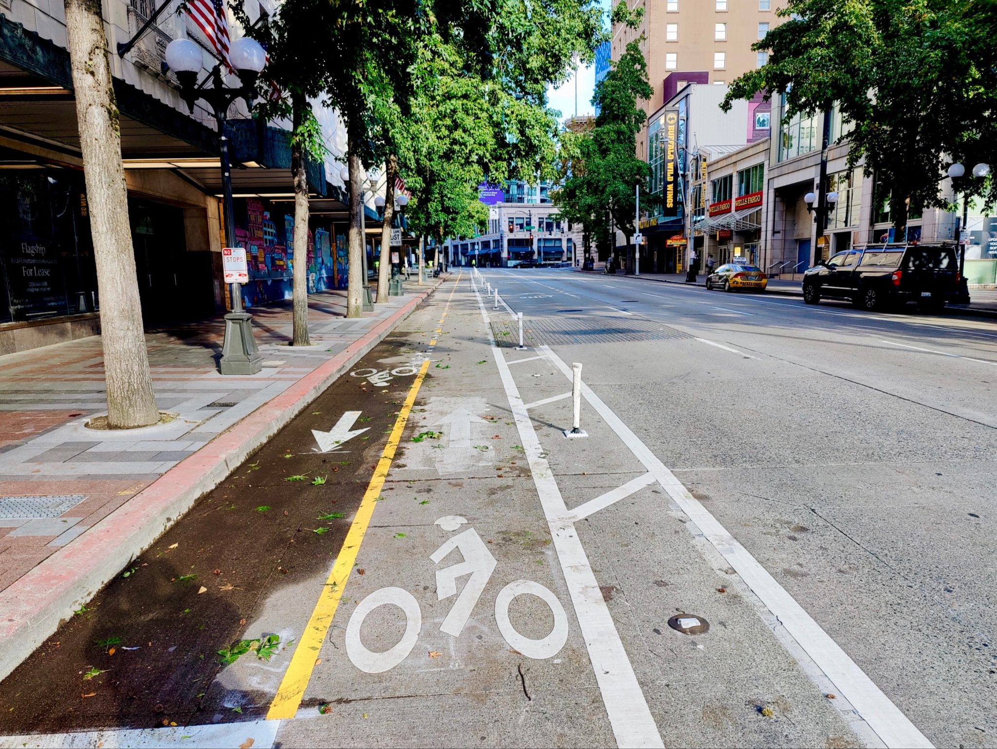
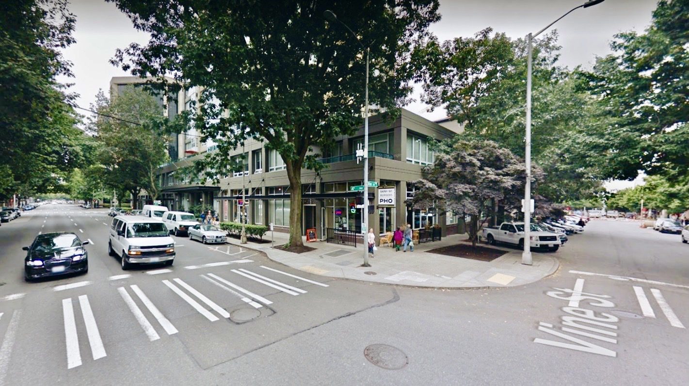
- This protected bike lane now runs uninterrupted along 4th Ave from Vine St in Belltown down to Yesler Way in Pioneer Square.
- We hope you can come take a ride and check it out for yourself soon.
- Read on to learn more about the route, including a quick virtual photo tour. We also share a few friendly reminders and best practices to safely use the new bike lane.
- Check out the project web page or our previous blog post for more details on how this new protected bike lane is helping improve safety, comfort, and mobility for people walking, rolling, biking, and driving in downtown Seattle.
The new 4th Ave protected bike lane downtown is now complete and open to riders! We invite you to take a ride.
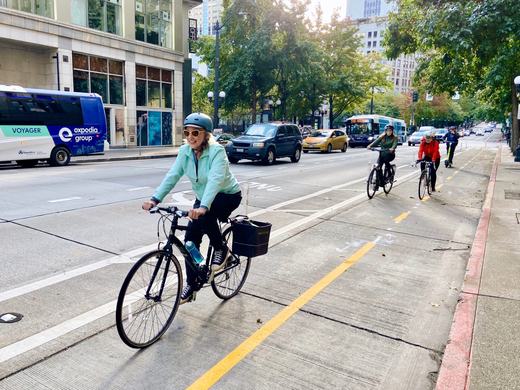
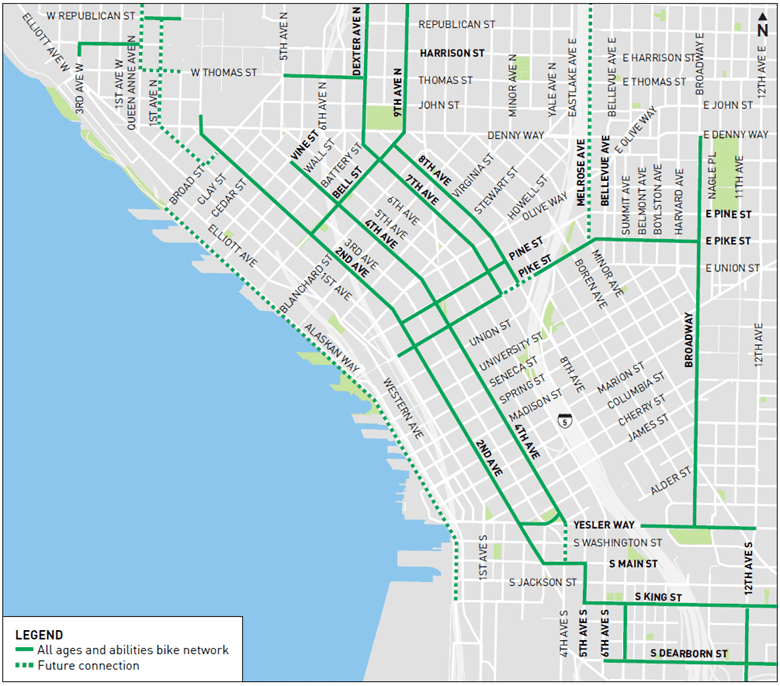
4th Ave now has a 2-way protected bike lane on the west side of the street between Vine St and Yesler Way! This is a big step forward in advancing our City Center Bike Network, with connections to surrounding neighborhoods such as Uptown, Capitol Hill, and Beacon Hill.
Protected bike lanes make biking a more viable transportation option for our “willing but wary” riders who enjoy biking but don’t feel as comfortable biking alongside traffic. This new route along 4th Ave creates another north/south downtown option alongside the existing 2nd Ave protected bike lane reach important destinations without having to climb hills.
The 4th Ave Mobility Improvements project contributes to the City’s Vision Zero plan to end traffic deaths and serious injuries by 2030. The protected bike lane not only separates people biking from moving vehicles, it separates the signal phases for all users, meaning drivers won’t need to yield across people walking and biking to make left turns. This change will help reduce collisions and make the walking, biking, and driving experience more comfortable and predictable.
Check out the new 4th Ave protected bike lane in action! (YouTube video)
This project was made possible with tax dollars from the Levy to Move Seattle. Thank you, Seattle, for helping make this protected bike lane a reality!
Take a ride with us on Seattle’s newest bike facilities! (YouTube video)
Thanks to your tax dollars at work, you can now ride all the way from Belltown to the Pioneer Square light rail station with the completion of the 4th Ave protected bike lane. It all connects to a broader network of city bike routes connecting people north to the Burke Gilman Trail, east to Capitol Hill, and south to Beacon Hill. See these and all bike routes on our map.
See below for a map of the new 4th Ave protected bike lane and other bicycle routes in and around downtown Seattle:
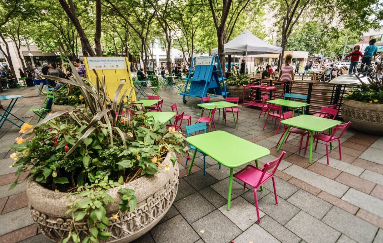
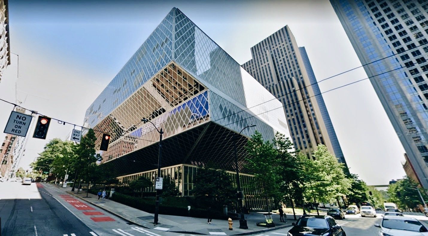
4th Ave is home to a wide range of destinations like Westlake Park, the Central Library, City Hall, and major office towers and residential buildings that are now easier to access via bike.
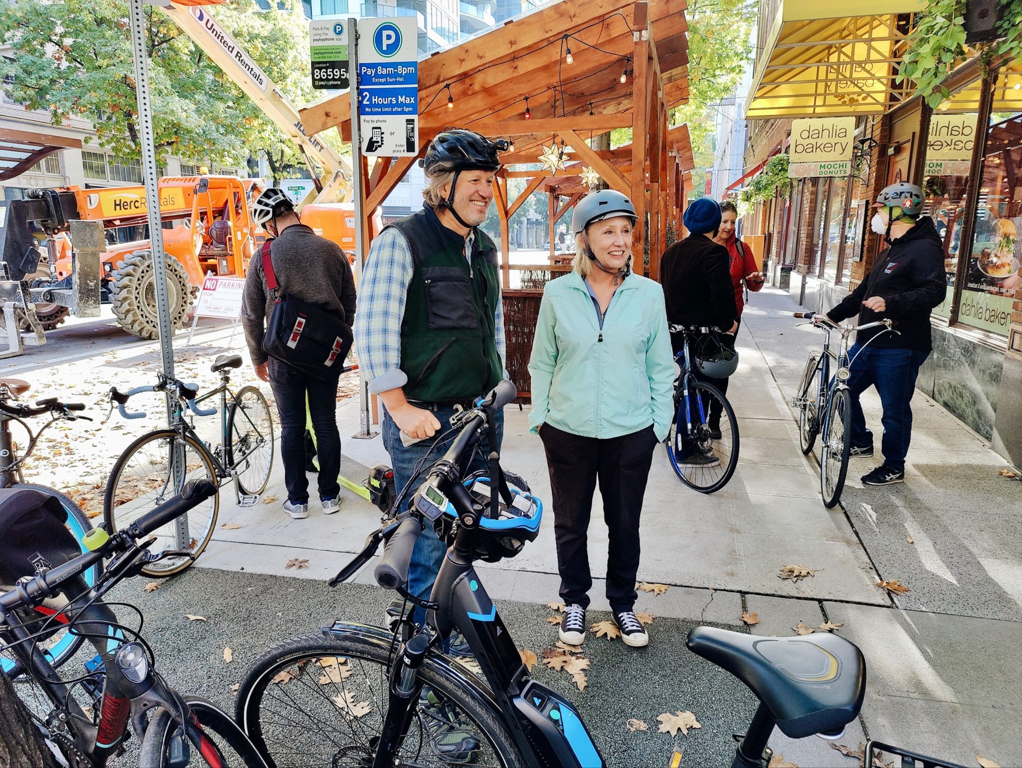
To get a better feel for the route, join us on a quick virtual photo tour!
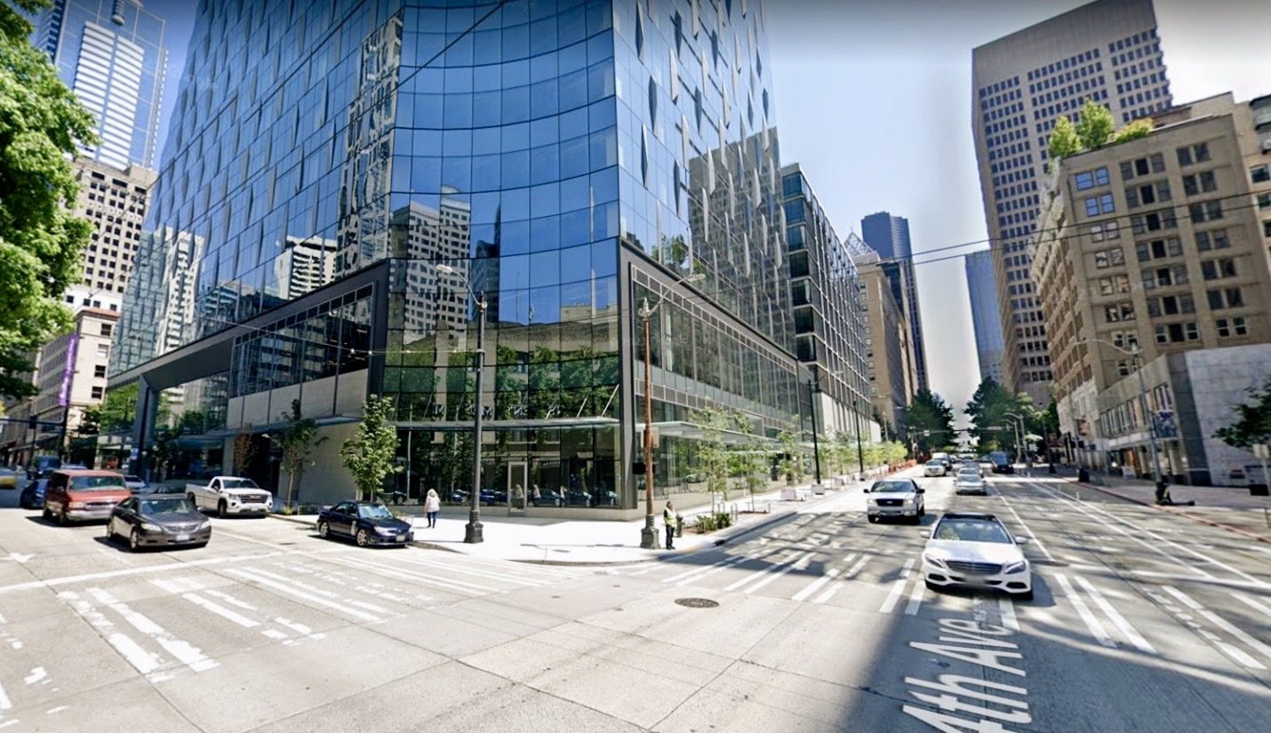
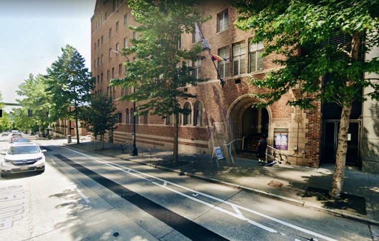
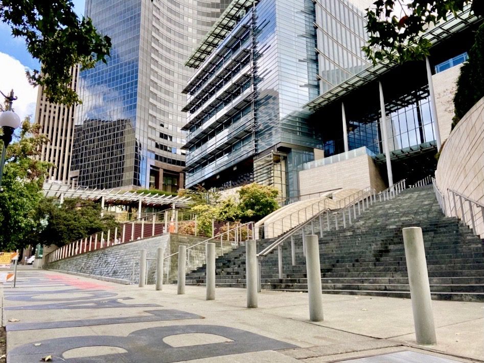
Below, we travel southbound along 4th Ave – starting at Vine St in Belltown, continuing through downtown Seattle, and ending at Seattle City Hall, near where the route connects to the 2nd Ave protected bike lane via Yesler Way.
Friendly reminders for people biking on 4th Ave, and everywhere else!:
- Bicyclists:
- When entering the protected bike lane, remain aware of your surroundings – please yield to any pedestrians or people rolling in wheelchairs on the sidewalk or crosswalks as you enter. This includes pedestrians walking across the protected bike lane to access nearby hotels, office buildings, and other destinations along the route.
- Be sure to stop at red lights – the protected bike lane extends through many downtown cross-streets along its route.
- Look for the bicycle-specific green light (green bike icon) before you go.
- Look both ways before you roll through the intersection, keeping an eye out for nearby vehicles.
- Communicate with other bikers and pedestrians nearby as needed – use your bike bell or a verbal signal when passing.
- With these tips in mind, please stay alert and enjoy the smooth ride on 4th Ave!
- Drivers:
- Please wait your turn. Do not turn left through an intersection when you have a red “no turn” arrow.
- Make sure you have a green left-turn arrow before moving through the protected bike lane – and look for bikers approaching from either direction before turning.
Once again, we hope you can use this new route soon and take it get where you need to go – be it traveling to work, running errands, or just enjoying a fun ride to grab a cup of coffee or meet up with a friend.
Please let us know if you have any questions. You can find more info on the project webpage.
Thank you again for making this project a reality through the Levy to Move Seattle.