Summary
- Reconnect West Seattle has been a joint effort over the past year with several neighborhoods to restore travel to and from West Seattle and surrounding communities.
- We completed over 20 projects in 2020! This includes biking infrastructure improvements, new bus lanes, speed radar signs, and a West Seattle and Duwamish Valley Walking Map, for people walking and rolling in South Park to help increase mobility.
- We’re also helping to make changing your travel methods possible with the new West Seattle and Duwamish Valley Travel Options portal. There’s more to come with the Mobility Action Plan.
Reconnect West Seattle started with a community-led process in summer 2020.
We wanted to learn how we could help reduce the impacts of the bridge closure and increased traffic in nearby neighborhoods. With the goal of keeping people safe and traffic moving, last summer, we collected survey responses from over 17,000 people to learn more about how they travel to, from, and around the West Seattle peninsula.
We also heard from over 1,700 people about their priorities for transportation projects in SODO, South Park, Georgetown, Roxhill, Highland Park, Riverview, and South Delridge to improve safety and traffic. People were most concerned about traffic, pedestrian safety & accessibility, speeding, environmental impacts and pollution. (You can read more about what we learned here.)
Together, this outreach helped us prioritize immediate needs and plan projects over the next year that will better serve the community in the long-run. Read more in our Reconnect West Seattle Implementation Plan!
To-date, we’ve completed over 20 Reconnect West Seattle projects! In total, we’ve completed over 190 traffic improvements since the West Seattle High-Rise Bridge was closed. These projects work hand-in-hand to keep communities moving throughout the closure.
Some highlights from Reconnect West Seattle in 2020 include:
We installed speed radar signs on detour routes to help reduce traffic speeds, including on S Cloverdale St in South Park and on Airport Way S in Georgetown.
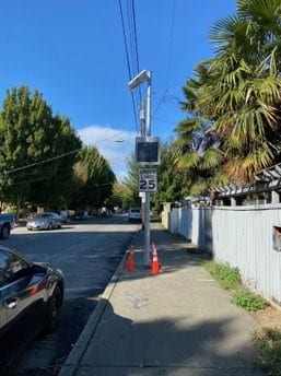
These signs show drivers their speed as they travel down the hill and encourage them to slow down.
Speed radar signs on S Cloverdale St. Photo Credit: SDOT.
We added new, red-painted bus lanes on S Spokane St to keep buses moving on time and efficiently and are adding bus routes to make taking transit more efficient and predictable.
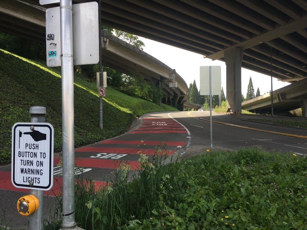
We heard people say that they’d be more inclined to take the bus if the trip was faster, if the bus came more often, and if the bus got them closer to their destination. As part of this, King County Metro added back bus routes 55, 56, and 57 to better serve the Admiral area of West Seattle.
We repaved the intersection of 1st Ave S and Olson Pl SW, a frequent site of new potholes and a critical path on the West Seattle Bridge detour route.
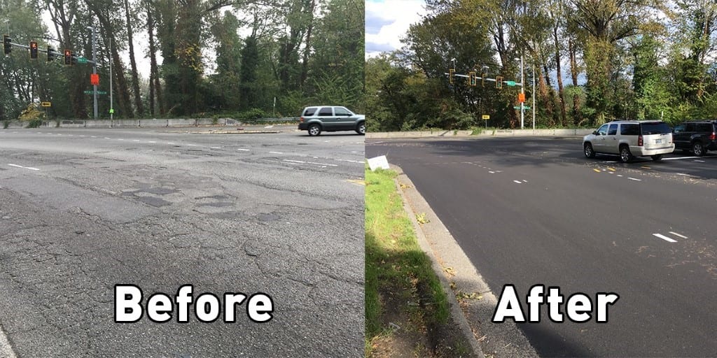
Paving helps keep people moving safely and smoothly, and extends the useful life of the street.
We made bike improvements on E Marginal Way and the West Seattle Bridge Trail to help people feel more comfortable biking.
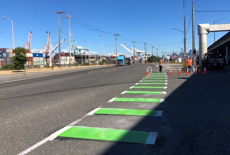
We heard people say that safer routes via bike lanes would make them feel more comfortable biking. (We also heard requests for better weather, but unfortunately that’s not under our umbrella!).
We’ve developed a West Seattle and Duwamish Valley Walking Map, which is just one part of our West Seattle and Duwamish Valley Travel Options portal.

We’re here to help make changing your travel methods possible with the new West Seattle and Duwamish Valley Travel Options portal, intended to help us all reach our mode-shift goals. The portal’s six sections provide information about the different modes of transportation people can use to travel to and from West Seattle and the surrounding area. Click on a mode of travel to find trip planning tools, maps, tips for getting around, and other resources to help you navigate safely using that mode. We are constantly adding new materials, so keep checking back!