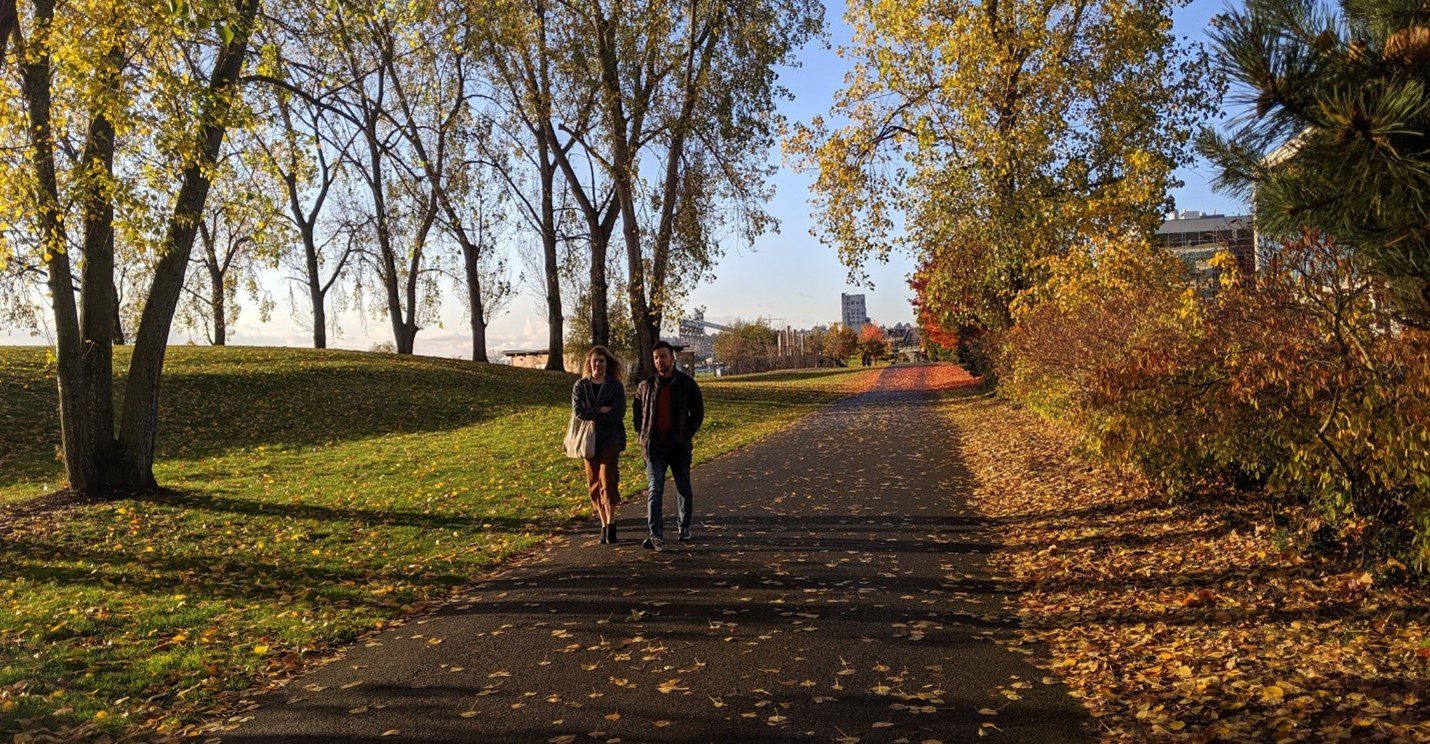
 Two people walk along the Elliott Bay Trail in Seattle’s Myrtle Edwards Park near the waterfront on a crisp fall day in October 2019. Photo: SDOT
 Summary:
- Walktober: Each year, we celebrate walking and rolling during the entire month of October (aka Walktober)! Walktober features a variety of ways to get involved and get active. FeetFirst and other community-led organizations across the region have seen robust participation each year since 2015!
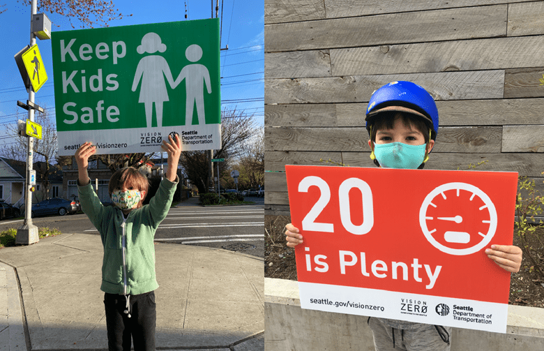
- Safe Routes to School: October is also National Pedestrian Safety Awareness Month and includes National Walk to School Day. We’re continuing to promote ways to safely walk, roll, and bike to school throughout the month as part of our Safe Routes to School program. See our recent blog for a brief overview of the program.
- Trick or Streets: Check out our recent blog post regarding Trick or Streets, where interested community members can host their own Halloween or Día de Muertos celebration by creating a temporary street closure during the community event (please note: a free permit application is required, unless you live on a designated Stay Healthy Street, in which case a permit is not required). A list of current Stay Healthy Streets is available online.
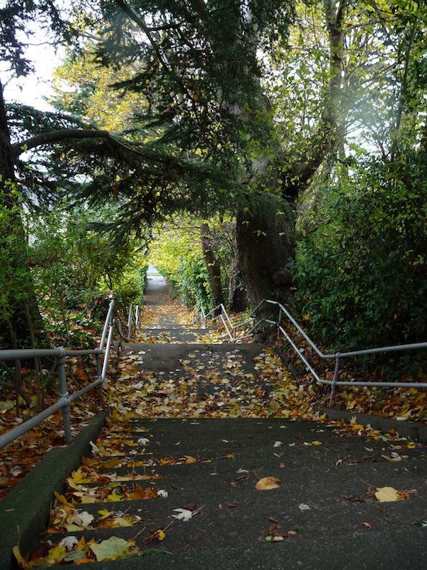
- Seattle Stairway Connections: Did you know Seattle is home to a large network of stairway connections? Check them out and start climbing for a great workout – and a gateway to somewhere new!
- ADA-accessible route planning tool: Seattle is also home to a network of Americans with Disabilities Act (ADA)-accessible routes for people with specific mobility access needs and people rolling throughout the city. You can use our Accessible Route Planner online tool to find accessible routes.
- Safety tips for fall and winter weather travel: Check out these our safety tips for traveling in fall and winter weather and national winter safe driving tips from the National Highway Traffic Safety Administration.
Join us to celebrate Walktober and get walking or rolling in the City of Seattle – here are some fun ideas to get started.
What is Walktober, anyways – and why October?
“Walktober is an annual health promotion event that aims to encourage people to get out and start walking more in the month of October. October is ideal for walking! With fall temperatures and hues knocking at your door, who wouldn’t want to take more time to get outside and enjoy their neighborhood on foot? This October we want you to walk anywhere, everywhere, for any reason, or no reason at all.”
–Source: PEDS.org
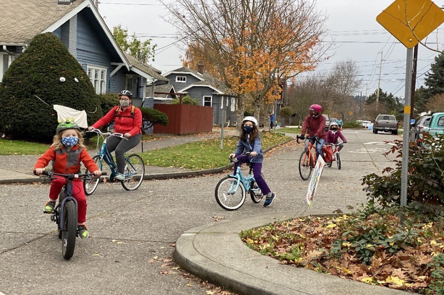
Recapping Walk to School Day (Oct. 6) and continuing safe walking, rolling, and biking to school all month!
Thank you to everyone that participated in Walk to School Day events on October 6! We also look forward to the rest of October, and throughout the school year, as kids walk, roll, and bike their way to class.
Our Safe Routes to School website has a range of information and resources, as well as videos highlighting how students are currently participating. Check out our recent blog for an overview of the Safe Route to School Program. We also shared a blog with additional details about how to apply for a Mini Grant to promote participation in safe walking and biking to your local school. Grant applications are now accepted year-round, and each grant can provide up to $1,000!
We have completed 17 new Safe Route to Schools street and sidewalk improvement projects so far in 2021. These include speed humps and speed cushions in the Westside School and Arbor Heights Elementary school zones, flashing beacons to alert drivers of the 20 mph speed limit at St Matthew School and Laurelhurst Elementary School, and crossing improvements at Mercer Middle School and Eckstein Middle School.
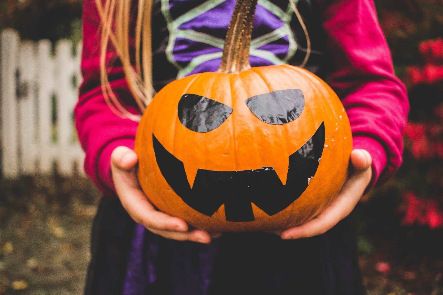
It’s almost Halloween and Día de Muertos – get excited and consider participating in a community Trick or Street event!
Trick or Streets – where you can close your block to people driving for a set period of time – is a fun way to celebrate fall, Halloween, and/or Día de Muertos with neighbors. Check out our recent blog post to learn more and consider hosting a Trick or Street on your block. A free permit application is required to host a Trick or Street, unless you live on a Stay Healthy Street. Permit applications submitted by TOMORROW, October 15 are guaranteed to be reviewed, and we’ll do our best to review later permit applications as they are received.
Did you know Seattle is home to a large network of stairway connections? Check them out and start climbing for a great workout – and a gateway to somewhere new.
A community-run website highlights many staircases, old and new, throughout Seattle. These stairways provide a fun way to get active and explore a path to a local space you may not have previously known about. Whether you run them for a high intensity workout, or take your time while taking in the views, we hope you enjoy experiencing this unique feature of our hilly city!
Seattle is also home to a network of ADA-accessible routes for people with specific mobility access needs and people rolling throughout the city. We’ve made these easier to find with the Accessible Route Planner online tool.
Please check out our interactive Seattle Accessible Route Planner online tool for a detailed snapshot of current conditions throughout the City. This tool helps show the state of sidewalks, curb ramps, transit stops, marked crosswalks, and various multi-use paths in the City. It also indicates the slope (also known as grade) level, showing how steep a route is between 0 and 9+ percent slope.
We hope this tool helps people with specific mobility access needs and people rolling to plan ahead and know what to expect when moving around the city. Learn more on our Accessibility and Making an ADA Request web page.
Our Pedestrian Master Plan is a 20-year blueprint to achieve our vision of Seattle as the most walkable and accessible city in the nation. While you walk and roll around the city, we’re working behind the scenes on projects to support this plan, and will soon share how we plan to implement those projects from now through 2024.
Safe driving tips for fall and winter weather
The National Highway Traffic Safety Administration has also designated October as National Pedestrian Safety Awareness Month.
We should always be looking out for our most vulnerable travelers, but as days get darker, we ask you to please be extra cautious if you are driving.
- Please slow down and stay alert for people walking, rolling, and biking while navigating fall weather on the roads, including a mix of rain, fallen leaves, fewer hours of daylight, and colder temperatures during the fall and early winter.
- Stop for people walking or rolling. Recognize that every intersection is a legal crossing, so look out at each intersection, and stop for people looking to cross.
- Remember that the speed limit in school zones and on all residential streets is 20 MPH. Most arterials (streets with a yellow line down the middle) are 25 MPH. Take it slow on our streets. It’s simple – the faster you drive, the longer it takes to slow down, and the more severe a crash could be. Plan ahead and give yourself plenty of time to reach your destination.
- Put down your phone. It is against the law to use hand-held electronic devices (cell phones, tablets, laptops, etc.) while driving. This law is critical in the effort to end traffic-related deaths.
Check out our blog with important reminders about traveling safely as we move into the fall, as well as this short video on YouTube highlighting a few safety tips as part of our Vision Zero plan to end traffic deaths and serious injuries on city streets by 2030. You can also read these safety tips for winter driving and travel, from the U.S. Department of Transportation, and learn more about the purpose and goals of National Pedestrian Safety Awareness Month.
Once again, we hope you can get out and get moving this month as we celebrate Walktober!