 People cross the street with their dog at the improved intersection of Boyer Ave E and 24th Ave E where pedestrians get a head start. Photo: SDOT
 Blog stats: 750 words | 4-minute read
At-a-glance:
- We’ve completed major construction for the Route 48 Transit-Plus Multimodal Corridor Project.
- Construction kicked off in March to support more reliable trips for people riding the Route 48 bus.
- The project offers several important features and benefits:
- Signal upgrades for buses New “smart signals” at 14 intersections that activate or extend green lights for buses traveling through the corridor (signals activated on a rolling basis through early 2025).
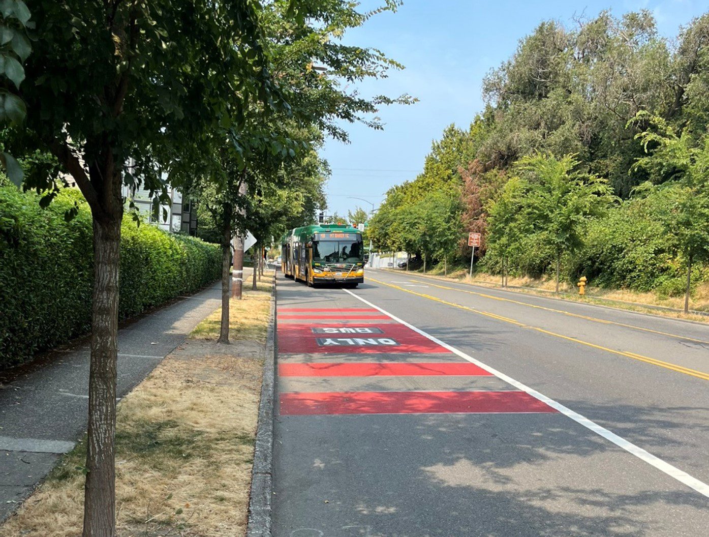
- Bus travel improvements: Southbound bus-only lane between S Massachusetts St and S Grand St and a bus-only left turn lane from southbound 23rd Ave S to Rainier Ave S to improve bus reliability.
- Boyer Ave E walking and biking improvements: New ADA-accessible curb ramps, upgraded crossing signals with better visibility that give people a head start, and improved walking and biking connections to the Central Area Neighborhood Greenway, the Arboretum, and the Montlake Neighborhood
- The upgraded route helps students get to the University of Washington, Montlake Elementary, Holy Names Academy, Meany Middle School, Garfield High School, Washington Middle School, Thurgood Marshall Elementary, and other community resources by bus.
- You’ll also have better access to the upcoming RapidRide G Line and light rail stations in Mount Baker, Judkins Park, Capitol Hill, University of Washington, and the U District.
- We hope you take a ride on Route 48 soon, and visit the many restaurants, local shops, and other community destinations that this bus route serves.
- Thank you to everyone who helped shape the project’s design and navigated our construction this spring and summer.
- This project was funded by the voter-approved Levy to Move Seattle. Thank you, Seattle!
Headed north or south between Mount Baker, the Central District, and the University of Washington? Your bus ride will be more reliable moving forward. We’d like to highlight some key improvements now available to the traveling public with the construction of the Route 48 project in the rearview mirror.
Here is a brief overview of the project’s top features and photos of completed elements. Please note that we’ll be wrapping up a few remaining tasks and tidying up the project area over the next several weeks. We’ll also activate the transit signal priority upgrades on a rolling basis as we complete fiber optic connections through early 2025.
Upgraded signal and new accessible curb ramps at Boyer Ave E and 24th Ave E in Montlake
An upgraded signal gives buses priority when moving through the intersection and reduces conflicts with a new protected left turn for northbound and southbound vehicles. It also gives people walking a head start when crossing the street.
The widened curb ramp and relocated crossing signal button on the southwest corner give people biking a better connection to the Central Area Neighborhood Greenway.
These improvements help people access the Arboretum and the Montlake neighborhood while creating a more reliable experience for everyone commuting and traveling in the area.

New southbound bus-only lane on 23rd Ave S, between S Massachusetts St and S Grand St, in Judkins Park
This helps keep buses moving and get folks where they need to go. Combined with signal improvements, the bus-only lanes help keep buses moving through congestion and support reliable trips.

New bus-only left turn lane onto Rainier Ave S from 23rd Ave S in Rainier Valley
This improves connections to the Mount Baker light rail station and helps buses move through this busy intersection with fewer delays.

Project map
