Updated Seattle street parking rates take effect Monday, March 18 – here’s what to know
March 14, 2024
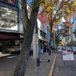
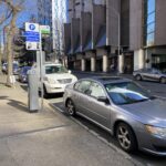
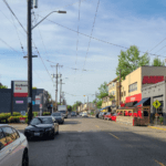
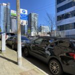
Blog stats: 1200 words | 6-minute read At-a-Glance: On Monday, March 18, new street parking rates will take effect in Seattle. We determine street parking rates based on data we collect and analyze from each paid parking area in the city. We compare this real-world data with our performance metric… [ Keep reading ]