 SDOT SpokesSalmon Sal and Seattle Councilmember Alexis Mercedes Rinck discuss how the city is making buses faster and more reliable. Photo: SDOT
 Have you tried the bus recently?
Seattle City Councilmember Alexis Mercedes Rinck asked Sal that very question on a day when traffic was just a bit too much for our frustrated, floundering SpokesSalmon.
Watch what happened below.
A few notable changes effect two of King County Metro’s most popular bus routes:
- The RapidRide E Line now has 24/7 bus lanes along Aurora Ave N, so you can get from Shoreline to Downtown Seattle faster.
- Rainier Ave S has more bus-only lanes, too, for Route 7 bus riders. The Route 7 also connects to the new Judkins Park Station, making it easier to cross the lake to the Eastside and to get downtown from Judkins Park.
Sal was very happy for the reminder and says she’s hooked on taking the bus.
Thanks to Seattle voters and taxpayers, the Seattle Transit Measure (STM) invests in local bus and streetcar service to make public transportation better, more reliable, and more accessible for everyone in our city.
Local funding sources like the STM and the Seattle Transportation Levy are critical for maintaining and modernizing our city’s transportation network.
There are more changes on the way, too! Please stay tuned to our SDOT social media channels for additional updates.
RELATED STORY: Seattle Transportation Levy on track to meet commitments to voters, report shows
Getting around Seattle
Buses are just one of many ways to get around Seattle. You’ll find a general overview of your options below, and you can learn more on FlipYourTrip.org, your one-stop transit hub with additional resources, including short “how to” videos that cover all the basics.
Light Rail
Sound Transit, which manages the Link light rail system, Sounder Trains, and ST Express bus service, also has a handy trip planner tool.
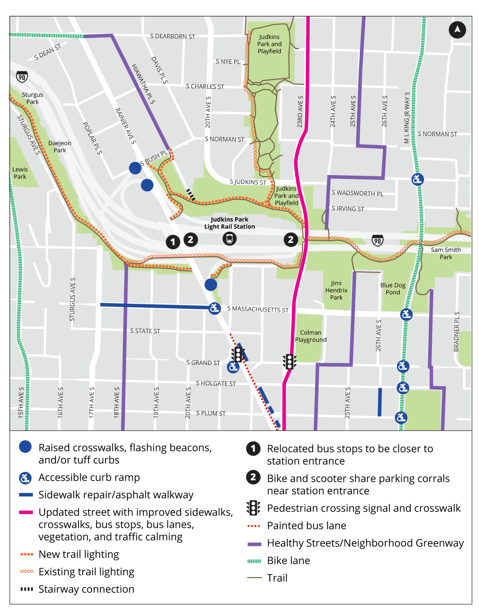
A few weeks ago, the Link light rail’s 2 Line officially began service between Seattle, Bellevue, Redmond and more, including opening two new light rail stations at Judkins Park and Mercer Island.
We put together a guide to help you get to the new station, no matter how you choose to get there. Check out our post with tips for walking, biking, transit, and parking near Judkins Park Station.
Related stories:
- How to get to the new Judkins Park Station in Seattle
- Judkins Park Station opens soon with easier Seattle-Eastside travel
- 3 new light rail stations connect Seattle to Federal Way, Star Lake, Kent Des Moines
Streetcar
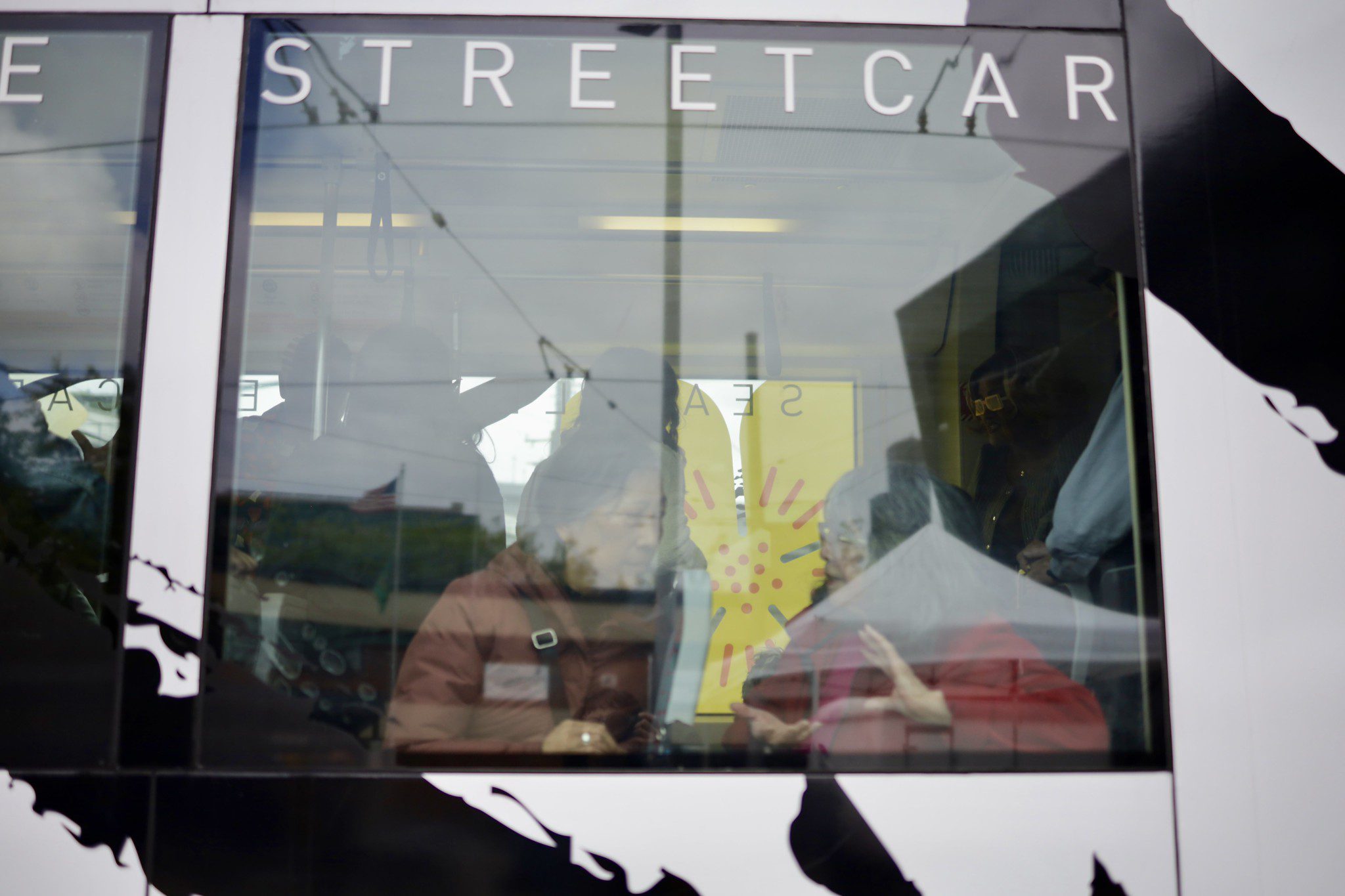
There are two streetcar lines in Seattle, South Lake Union and First Hill. Both connect to multiple bus routes and the Link light rail.
South Lake Union Line also connects to the Monorail at Westlake Center.
First Hill Line also connects to Amtrack and Sounder trains at King Street Station.
Related story: Celebrating “Filipinotown” addition to the Seattle Streetcar
Shared bikes and scooters
Seattle’s bike and scooter share program hit a record-breaking 10.5 million rides last year. During that same time, we added and upgraded more than 13 miles of protected bike lanes to improve safety and connectivity.
Please remember to always wear a helmet, plan your trip to use bike lanes whenever possible (check out our interactive bike map), and park out of the way at the end of your ride.
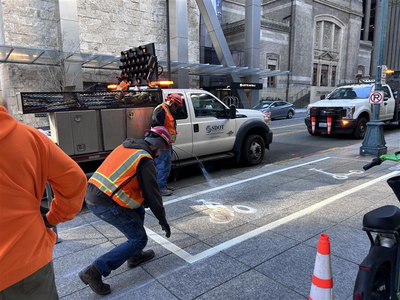
If you see a designated parking spot, please use it. We’re adding more than 200 of them downtown ahead of FIFA!
We have a bike rack map and more information about parking here.
Related stories:
- Seattle celebrates Bell Street’s new historic sign bridge, bike lanes
- Yesler Way to get new bike lane, closing critical gap in Seattle’s bike network
- Seattle bike & scooter share sets new record in 2025
Monorail
The Monorail moves back-and-forth between Westlake Center Mall and Seattle Center. We made a video to help you find it starting from Westlake, which you can watch below or in our Seattle Transit 101 playlist on YouTube.
Bus
We’ve already touched on some recent bus improvements, but did you know our friends at King County Metro also have a helpful Metro Trip Planner tool?
King County Metro operates many buses and other transit services in Seattle.
Related stories:
- Extended Rainier Ave bus lane offers seamless, more reliable trips
- Aurora Ave N gets 24/7 bus lanes, giving nearly 14,000 riders better service
- Water Main Work Wraps Up on RapidRide J Line Project
Ferries and Water Taxis
The Seattle Ferry Terminal and Pier 50 are a short stroll from major downtown attractions and have boats to Bainbridge and Vashon Islands, West Seattle, Kingston, Bremerton, and other Kitsap County destinations.
It’s a great time to leave your car behind and set sail, because summer season means more sailings! For example, Kitsap Transit Fast Ferries operate on Saturdays from May through September.
Ferries in Seattle are operated by partner agencies, like Kitsap Transit and Washington State, and water taxies are operated by King County.
Visit FlipYourTrip.org to explore all your travel options.